
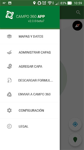
Features Farm 360
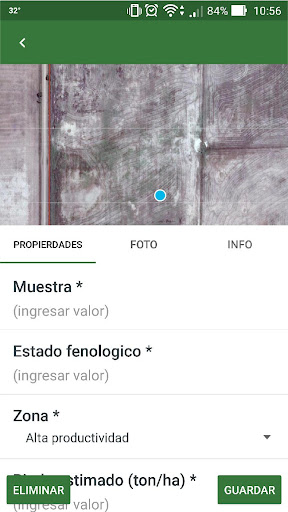
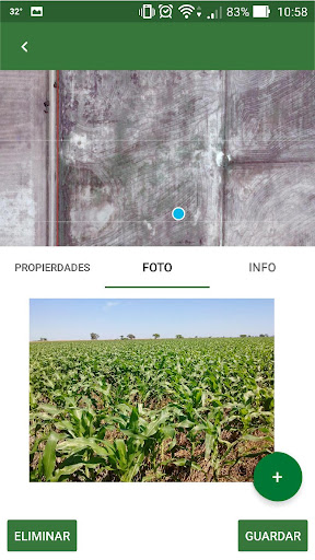
Farm 360 allows navigating plots of land offline, add markers, fill forms and take pictures.For each sample, the coordinates are registered and a form is displayed where the user fills the most relevant infromation, depending on the reason for the walk (monitoring, undergrowth/plague, emergency control, growth condition, performance, etc.).
Pictures can also be taken.This application is a complement of the Farm 360 Web Platform.
Once the walk is finished, the information is synchronized and visualized online, allowing analisis and comparison with other layers.
Gaming Features
Enjoy immersive gaming experience with various game modes.
Smart Home
Control and monitor your home with smart features.
Offline Mode
Use the app without an internet connection. Your data syncs when you're back online.
See the Farm 360 in Action
Get the App Today
Available for Android 8.0 and above